About
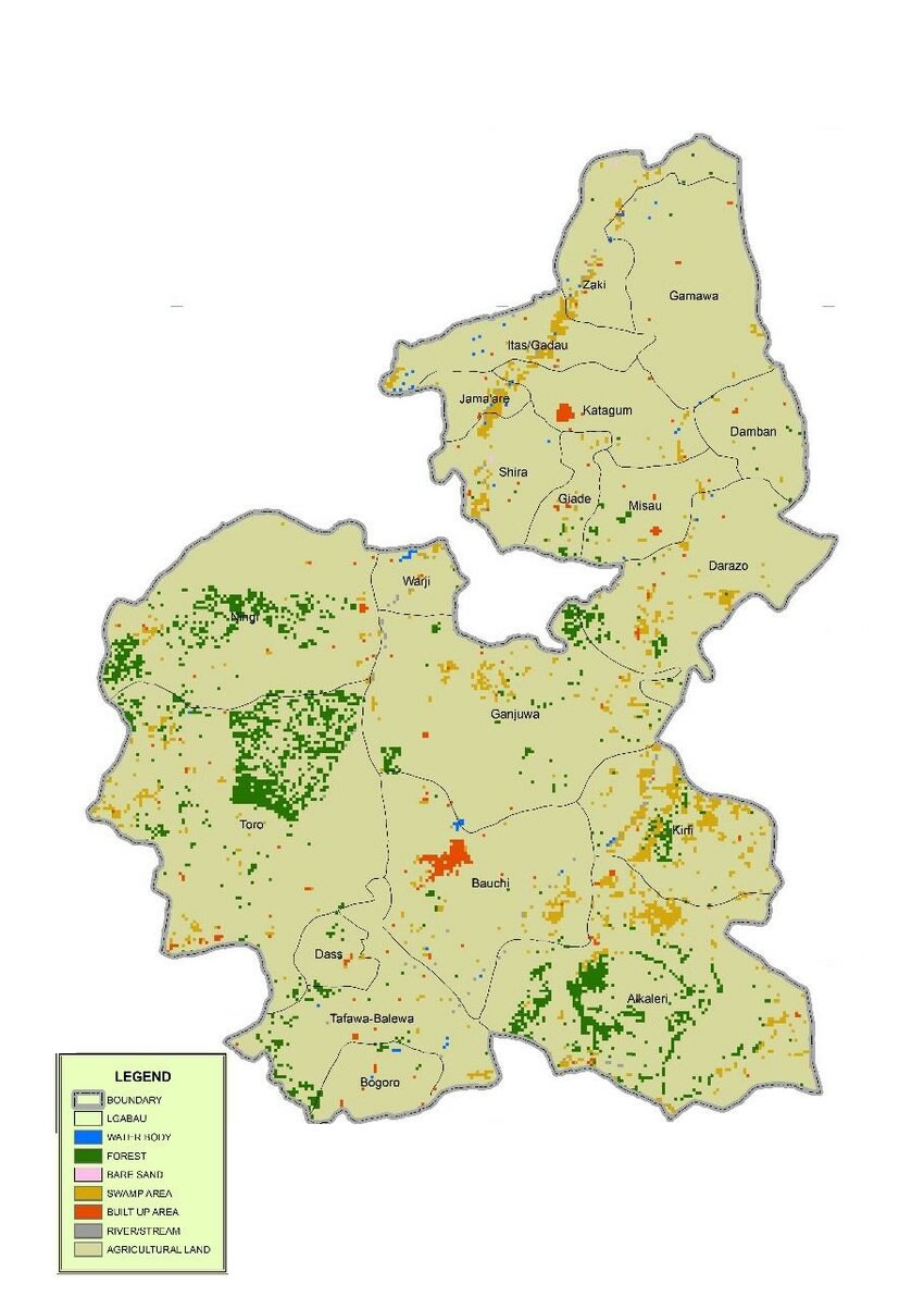
Bauchi State
With a population about 5 million according to the 2006 census, Bauchi State has gone through a tremendous transformation since it was created. During the colonial era up to independence, it formed part of the Bauchi-Plateau of the then Northern Region, until the 1967 state creation exercise, when the Bauchi, Borno, and Adamawa provinces constituted the former North-Eastern State. With the creation of Bauchi state in 1976, then comprising present Bauchi and Gombe states, it included 16 Local Government Areas. The number of Local Government Areas in the then Bauchi State was increased to 20 and later to 23. However, in 1997 when Gombe state was created out of Bauchi and additional local governments were created in the country, Bauchi State was left with 20 Local Government Areas as shown below. Bauchi State is located between latitudes 9° 3′ and 12° 3′ north of the equator with a total land area of 49,119 km² representing about 5.3% of Nigeria’s total land mass. The state is bordered by seven states; namely Kano and Jigawa to the north, Taraba and Plateau to the south, Gombe and Yobe to the east and Kaduna to the west.
Making What’s Possible in Environmental Management
Bauchi at a Glance
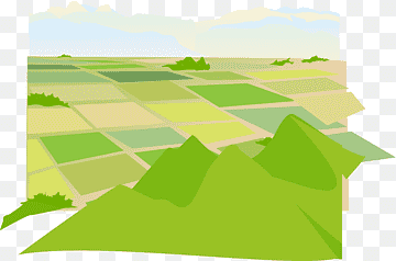
Bauchi State is the most peaceful state in the North-eastern Part of the Country with environmental and natural resources support a significant portion of the economy; as the state is endowed with abundant natural resources, solid minerals and tourist attractions unrivalled in the country. It has enormous potential for agriculture with a total arable land estimated at 1.9 million ha, and 82,000 ha irrigable land. Starting from 1976, the state has 56 forest reserves, 3 game reserves and several grazing reserves.
million ha
total arable land

ha
irrigable land
+
forest reserves
game reserves
Challenges
Climatic changes
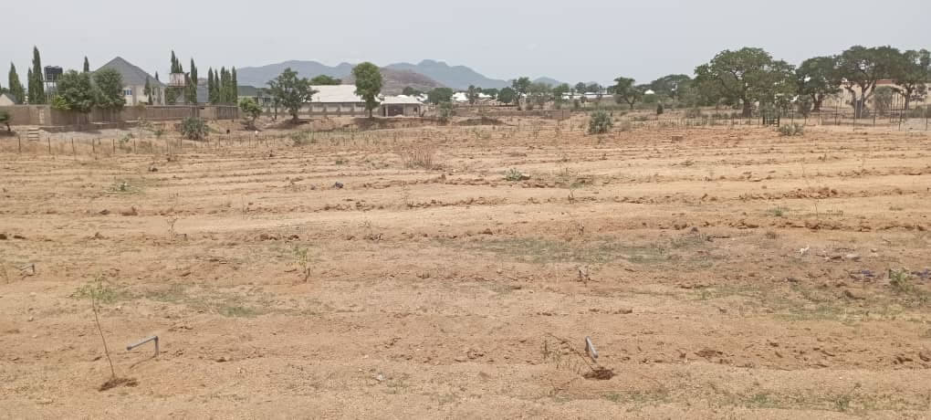
Notwithstanding this natural endowment, however, natural and man-induced climatic changes and rapid population increase is constituting a barrier to development and the state’s capacity to reach its optimum potentials. .
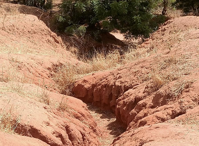
About 41% of the land is degraded and 63% of land is deforested.
Droughts
incessant droughts over the last three decades have increased the poverty level in the state.
Women, children and the aged bear this burden disproportionately.
Overgrazing
The continuous cultivation of land, overgrazing due to population pressure and poor investment in land improvement had rendered a thousand of arable land unproductive making farmers and herders economically vulnerable.
Aa s result, significant area of land, especially in the extreme northern part of the state is extremely degraded making these areas difficult to restore